Val de Sioule
Val de Sioule
Discover typical medieval villages and varied landscapes.
The circuit starts with a quick descent to reach the village of Bellenaves. Just before the village, from a monumental statue of the Virgin (orientation table, picnic tables), the Bellenavoise plain offers a wide panorama. The second part of the route follows the
railway track over the plain for 1.7 km then climbs sharply towards the pretty little village of Valignat, privileged observation point on the surrounding hilly countryside. By a beautiful balcony path, still overlooking the plain, the journey now passes by the
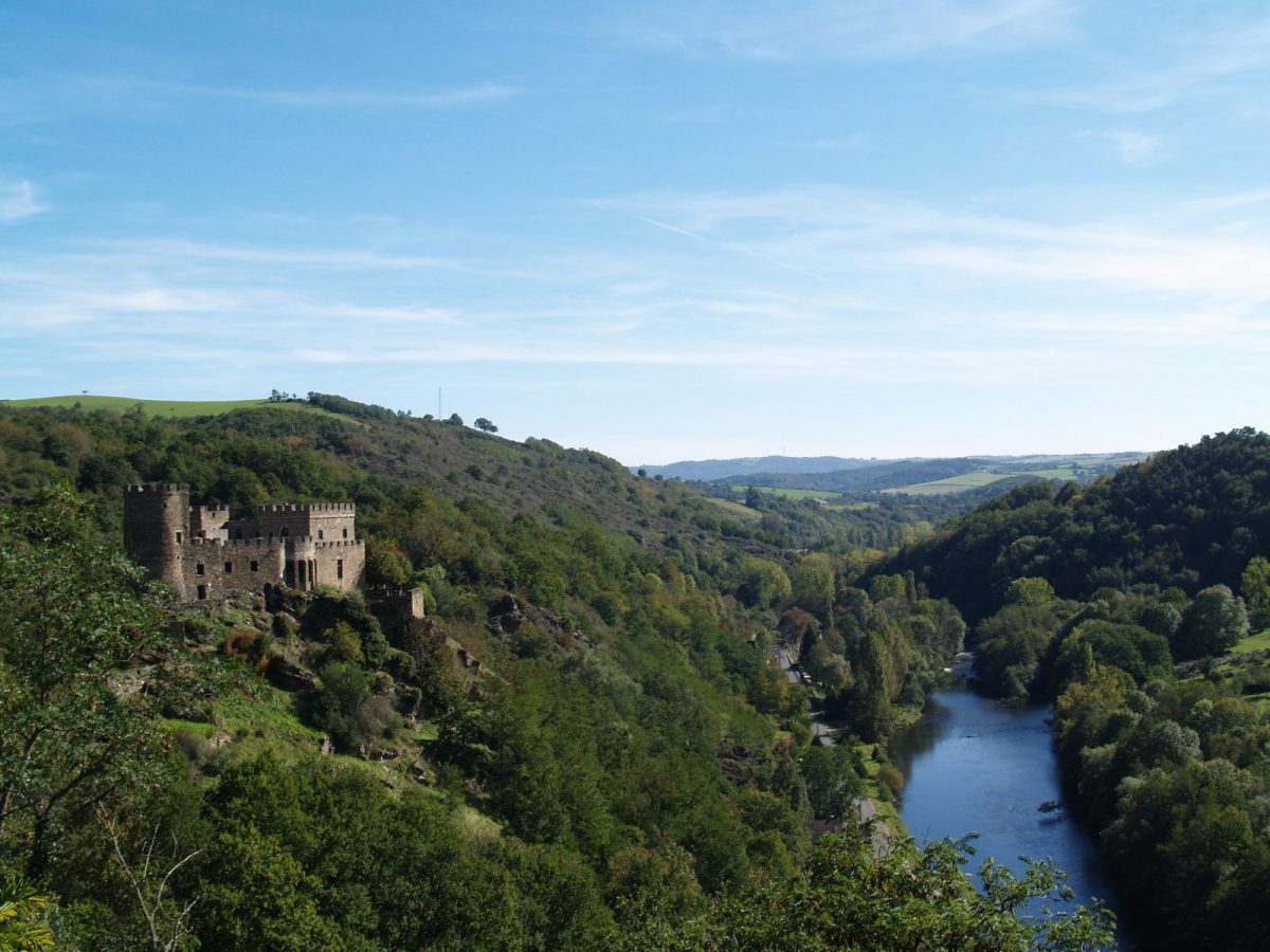
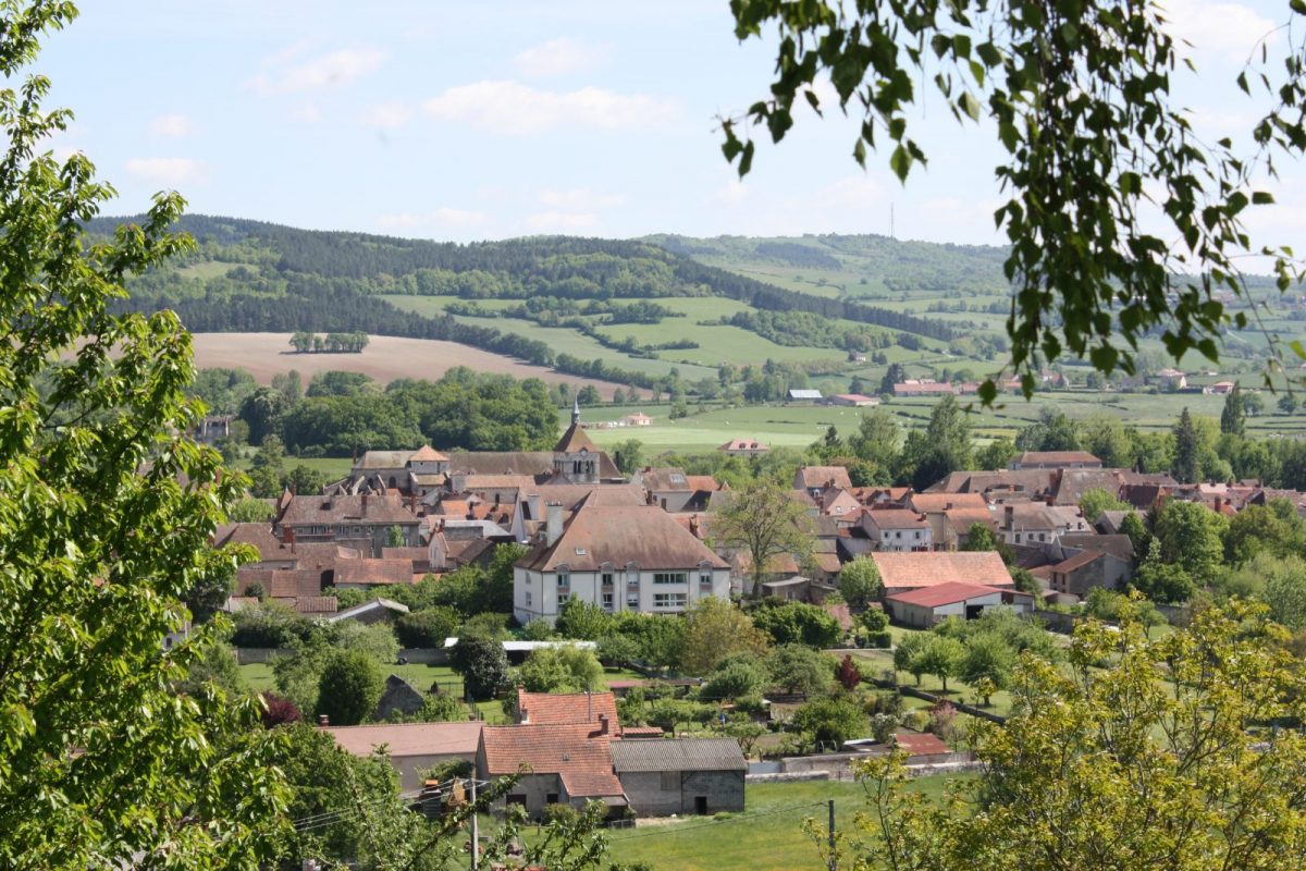
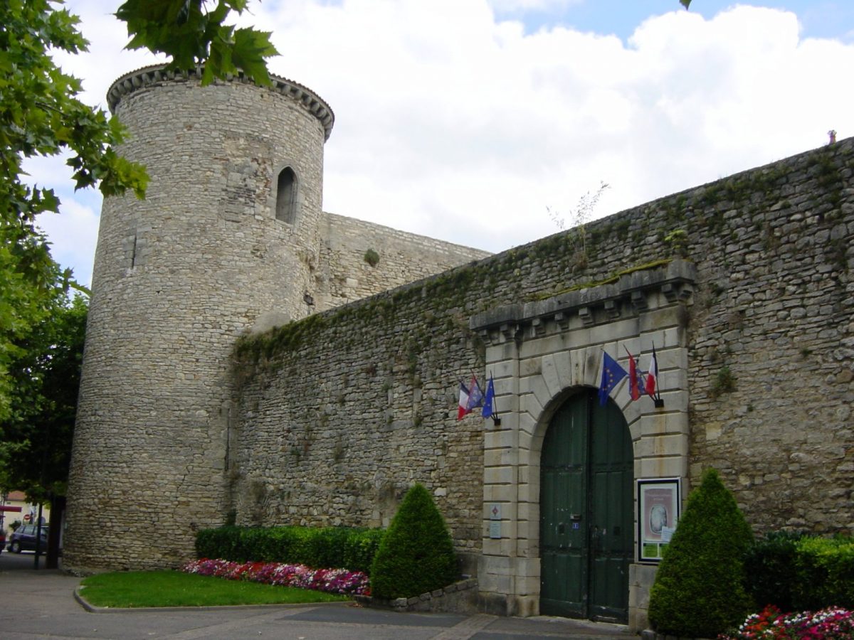
picturesque village of Naves with its ruined castle, its old washing houses and its ancient plane tree. From the plateau dedicated to the great cultures, it is necessary to join another plateau that of the famous medieval village of Charroux (one of the most beautiful villages in France) where the stop
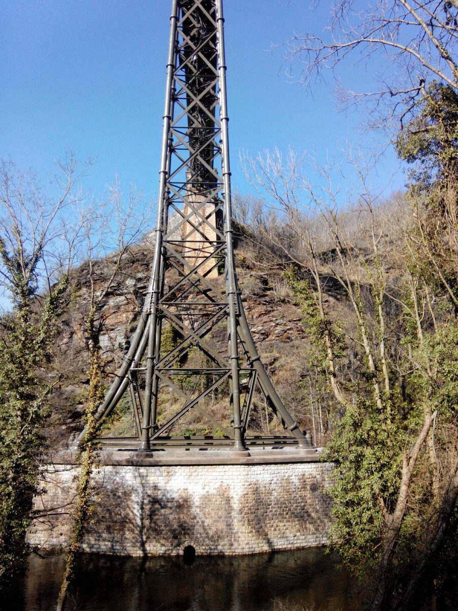
is required After crossing two castles (La Petite Varenne and Les Ruilliers), here is a nice descent to the Sioule followed by a rare 2 km long riverside path. The path then moves away from the river, starts a beautiful climb leading up above the sumptuous gorges
de Rouzat. But to admire the Eiffel viaduct in the middle of this setting, the mountain biker will have to get off his bike for a few moments and walk, off circuit, the last meters on the rocks. South of Saint-Bonnet-de-Rochefort, the trail crosses the railway (caution,
metal barriers) then continues up the valley to the castle of Rochefort (via the GR 300 of Compostela – white-red markings) before diving again towards the Sioule. Follows a small drop to reach the castle of Arçon before finding
the river at Ébreuil.The GR 300 then gives way to the GR 463 (always white-red markings) which first creeps through a combe to reach the limestone plateau overlooking the city, then the village of Valignat at 9.5 km. The relief descends and then goes up towards Chenevière, makes
also towards Boussat, then begins a slow ascent towards the hamlet of La Roussille above a pleasant valley of meadows. At the gates of the forest, a narrow path finally leads quickly to the MTB base, through a succession of small climbs and descents.
The GR 300 then gives way to the GR 463 (always white-red markings), which sneaks first through a combe to reach the limestone plateau overlooking the city, then the village of Valignat at 9.5 km. The relief descends then goes up to Chenevière.
also towards Boussat, then begins a slow ascent towards the hamlet of La Roussille above a pleasant valley of meadows. At the gates of the forest, a narrow path finally leads quickly to the MTB base, through a succession of small climbs and descents.
Type
Free of charge.
All year round.